Weather for Ocean Passages
It is always god to have additional source of weather forecast. For costal sailors there are plenty App’s on mobile but once you are out more then 30Nm offshore all GSM connections are closed to you.
Lucky if you have any satellite connections then variety of weather sources opened wide. You might set up very efficient weather information with relatively low cost ( this subject will be published a bit later as is big and require many details – if it is in your interest send an email we will send you a brief data)
The best and most safety is to have a Meteo Angel, who could be your friend with at least basic meteo knowledge, best if it is also a sailor so she/he knows how badly you expect the guidelines from him and what can happened with the boat left alone without forecasts.
Such arrangement is almost a must when you sail solo or even with crew but long passages. SUNsuSEA is lucky to have on this position Robert ( based US) who already helped many famous sailors to finished safely their trips and complete a life dreams. He will sail with us a least one part of the journey, once we sail a bit closet to his home.
As my wife is already on the trip freed form Mediterranean Lake, passed Gibraltar, heading a real open oceans to Caribbean I use some weather services which I can share with You.
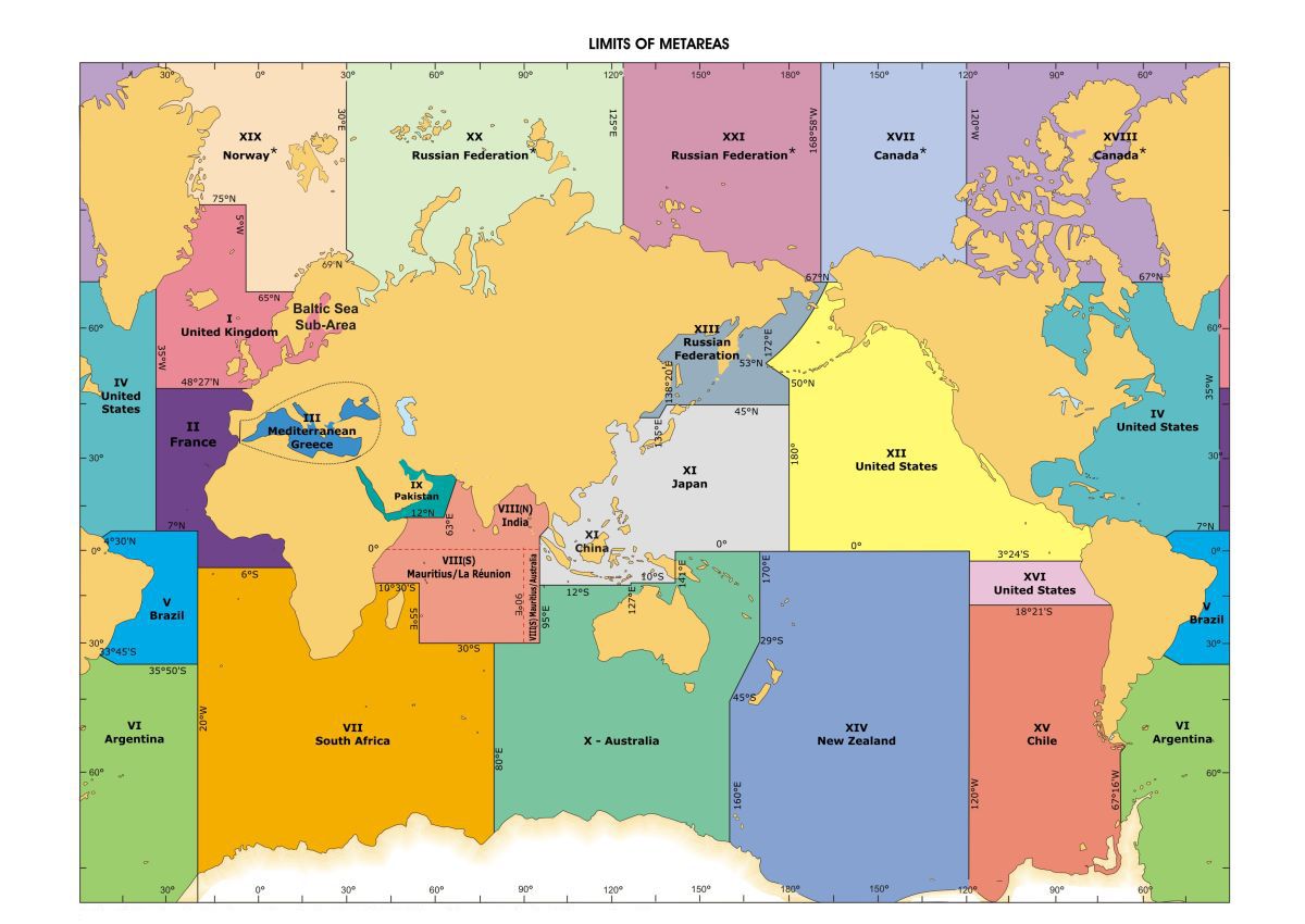
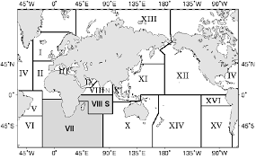
First you need to know which Metarea is your boat. You need a Met map.With our is easy because we have AIS and Sat tracer YB. If you do not have this equipment, no problem you just need to get a position report every few hours.


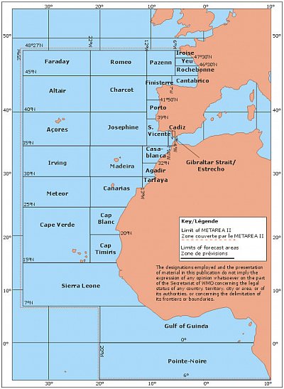
Atlantic Crossing along Marocco coast you need another map of Metarea II with sub sectors 
The Weather Bulletin is here You can choose METAREA

